Maps
Vector Maps for PowerPoint
Require maps for your PowerPoint presentation or Google Slide presentation? These editable PowerPoint map templates, in PPT format, feature the countries and regions as vector graphic shapes. This means you can edit the map template colors to fit your brand or data, or ungroup them to zoom out to specific geographic areas. Change the map templates to suit your PowerPoint. You can even edit continents (Africa, South America, North America (with US, Canada and Mexico) and Europe)! We also have PowerPoint templates for world maps to present global data and locations.
These map PowerPoint templates include countries, continents, and other geographical regions. To add to your maps, we designed various country flags and added PowerPoint illustration templates for macro economical statistical data charts based on trusted sources such as the Eurostat office. All presentation map templates contain a set of additional icons for illustrating the main demographics and economic data (population, major cities, GDP etc). We also included a set of location pins and markers to use on your map templates so you can focus on specific areas.
Use these PowerPoint maps and location graphics to show your company subsidiaries, present the target markets strategies, plan your business expansion or report sales volumes over various geographical areas.
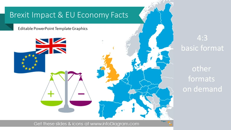
Brexit Impact Presentation & UK-EU economy facts ( ...
29 charts & diagrams, 50+ maps, 56 icons
$59

British Isles Map UK Ireland with Counties (PPT ed ...
100+ region maps, 54 icons
$49
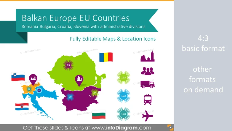
Balkan EU Maps with Administrative Regions (Romani ...
106 maps, 60 icons
$49
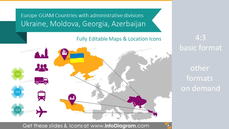
Ukraine, Georgia, GUAM Countries Maps with Adminis ...
148 maps, 59 icons
$49
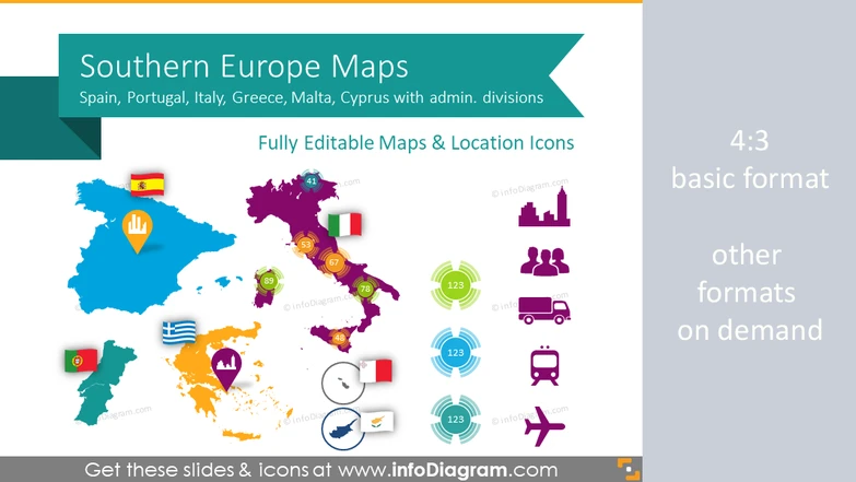
Southern Europe Maps with Administrative Territori ...
64 region maps, 62 icons
$45
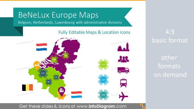
Benelux Europe Maps with Administrative Territorie ...
23 region maps, 61 icons
$35
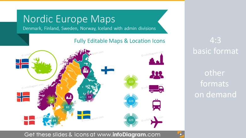
Nordic Europe Maps with Administrative Territories ...
77 region maps, 59 icons
$45
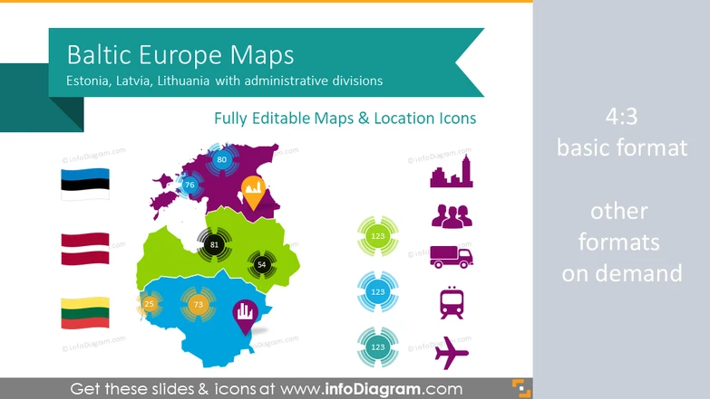
Baltic States Europe Maps with Administrative Terr ...
34 region maps, 59 icons
$40
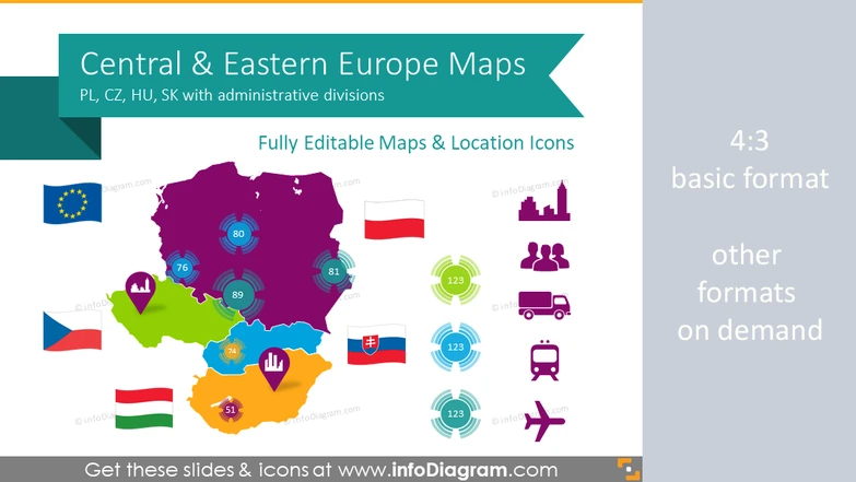
CEE Europe Maps with Administrative Territories (P ...
61 region maps, 59 icons
$45
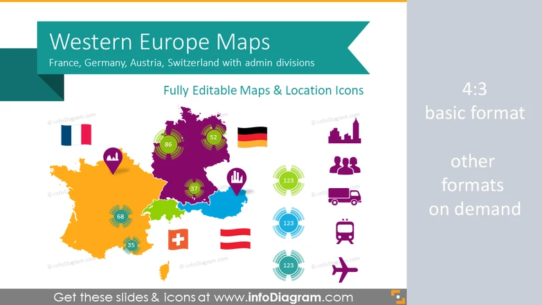
Western Europe Map with Administrative Territories ...
69 region maps, 60 icons
$45
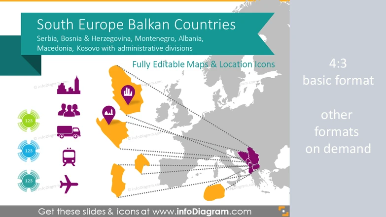
Balkan Europe Maps with Administrative Regions (Se ...
65 maps, 56 icons
$45
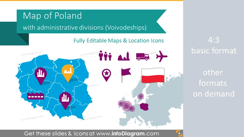
Poland Maps with Regions - Voivodeships Divisions ...
14 maps, 46 icons
$29
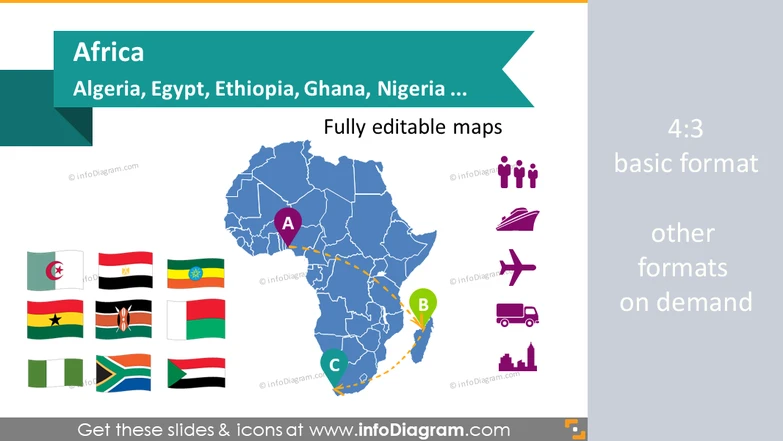
Maps of African Countries (PPT icons Population, G ...
69 maps, flags & icons
$39
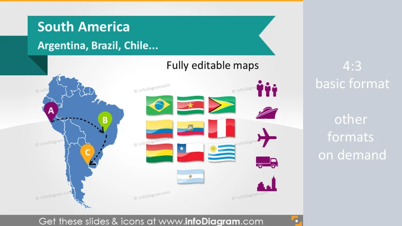
Maps of South America Countries (PPT icons Populat ...
15 maps, flags & icons
$39

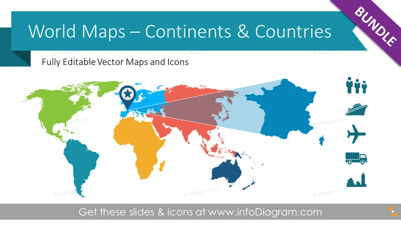
World Maps: Continents, Countries, Population, Tra ...
200+ maps & icons
$109
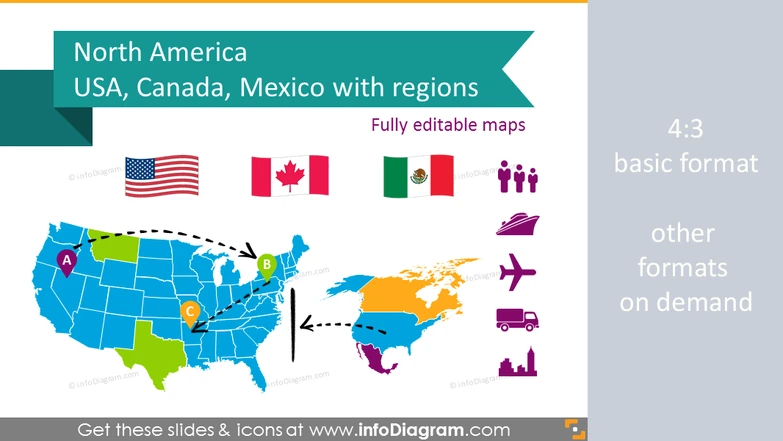
Map of Canada and US, North America, Mexico, Popul ...
99 maps, 46 icons & flags
$69
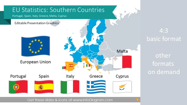
EU Statistics: Greece Italy Spain Portugal (Southe ...
13 econ charts, 43 maps, 25 icons
$42
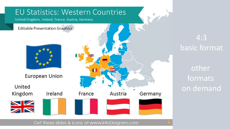
EU Statistics: France Germany UK Ireland Austria e ...
13 data charts, 43 maps, 24 icons
$42
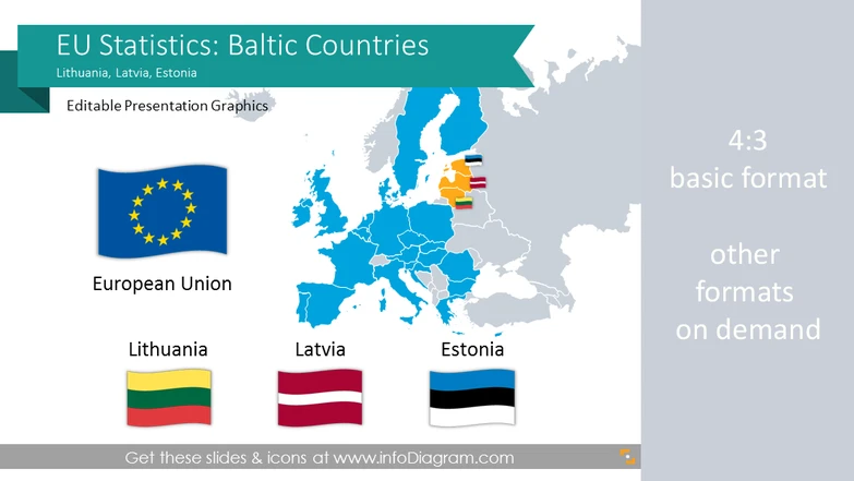
EU Statistics: Estonia Latvia Lithuania (Baltic Eu ...
13 data charts, 43 maps, 22 icons
$41
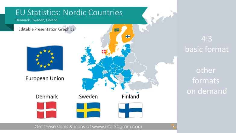
EU Statistics: Denmark Sweden Finland (Nordic Euro ...
13 data charts, 43 maps, 22 icons
$41
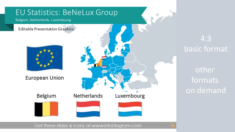
EU Statistics: Belgium Netherlands Luxembourg (Ben ...
13 data charts, 43 maps, 22 icons
$41
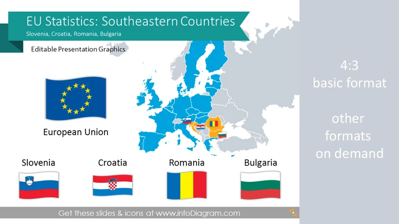
EU Statistics: Romania Bulgaria Slovenia (Southeas ...
13 data charts, 43 maps, 23 icons
$42
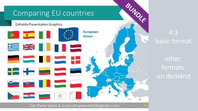
EU Statistics: European Union countries economics
44 data charts, 43 maps, 47 icons
$69
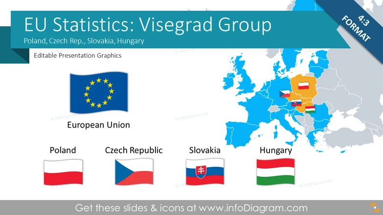
EU Statistics: Czech Rep. Hungary Poland Slovakia ...
15 data charts, 43 maps, 23 icons
$43
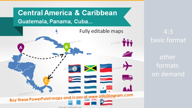
Maps Central America & Caribbean. Population, GDP, ...
14 maps, 53 icons & flags
$39